


Qiusheng Wu has put out the first release of RustGIS, a new open source GIS application with an announcement on X. v0.1.0 is available right now for anyone to use, along with a second release, v0.2.0, that has rolled out close on the heels of the first one.
The tool's ribbon-based interface will be familiar to you if you have used a modern office suite recently, and the tool itself allows you to analyze map data in various ways.
The release notes for v0.1.0 mention that it comes in 15 interface languages, has support for over 1,000 tools from the GeoLibre and Whitebox suites, and the editing tools cover feature templates and snapping, along with domains and attribute rules.
So, let's check out what RustGIS has to offer. 👇
Who is it for?
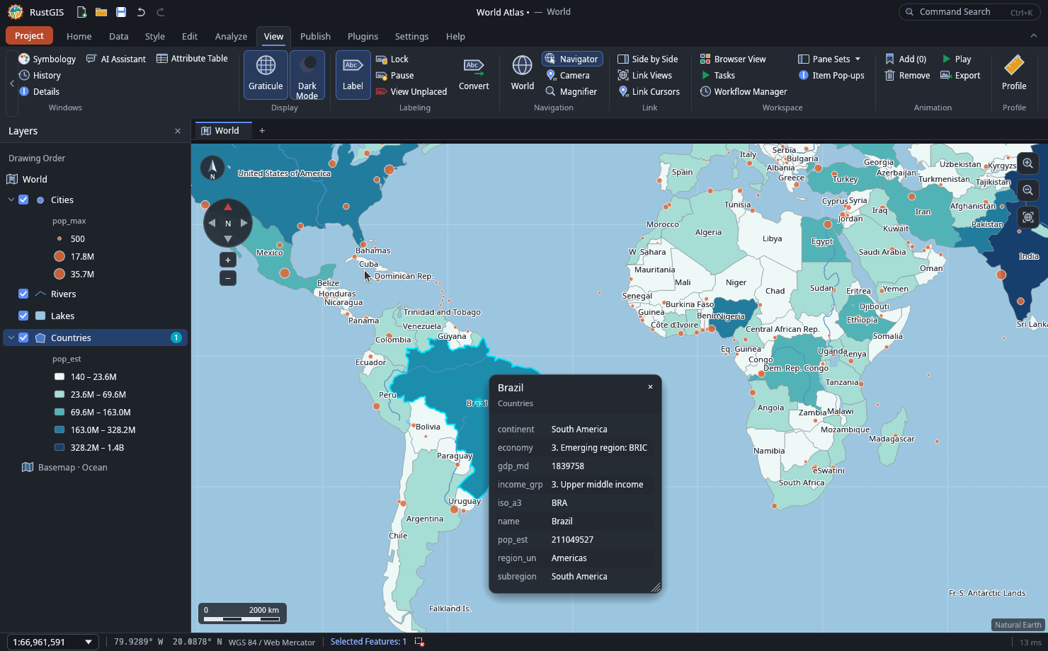
GIS stands for geographic information system, which is software for working with data tied to places on Earth. A GIS stacks layers such as roads, rivers, and population on top of each other, matched by location.
Working with those layers in RustGIS starts with analysis tools such as buffer and clip, plus SQL-based selection. Guided workflows cover jobs like viewshed analysis and finding the shortest path. The v0.2.0 release added SQL queries through DuckDB Spatial too.
The app opens common files like GeoJSON, Shapefile, GeoPackage, and GeoParquet, while large files are streamed. You can also open GDAL formats such as File Geodatabase, GPX, and DXF if you install ogr2ogr.
There's AI assistance too! 🤖
The AI Assistant is a chat pane that answers questions about the data or runs commands on the map. Undoing a change takes one step, and commands that touch files or the network wait for approval.
The command line can also render maps and chain tools, while an MCP server lets agents such as Claude Code and Cursor run RustGIS commands and generate maps.
Download RustGIS
If you are looking to try it out, RustGIS is suitable for terrain and hydrology work and for anyone who wants to execute repeatable workflows from the command line. Newcomers might also find the assistant's plain-language prompts easier than wading through the menus.
The newest release at the time of writing was v0.2.0. You can visit the downloads portal to grab binaries for Linux, Windows, and macOS. If you prefer a web-based solution, RustGIS is also offered as a WebApp.
The project hosts the source code for this on GitHub, and it also has a comparison table that shows how RustGIS fares compared to other tools like ArcGIS Pro and QGIS.
If this helped you, consider supporting It's FOSS
It's FOSS has been helping people use Linux for the past 14 years. Help us stay independent from big tech. Become a Plus member, enjoy ad-free reading and get 5 eBooks.