Brief: OpenStreetMap is a community-driven map – which is a potential alternative to Google Maps. Learn more about this open source project.
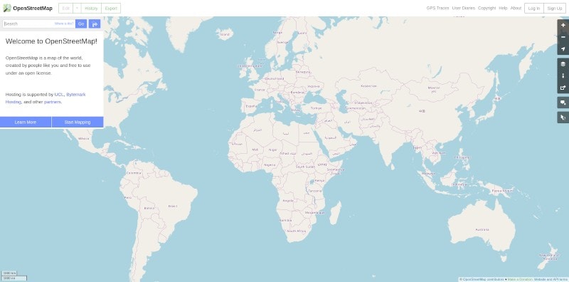
OpenStreetMap (OSM) is a free editable map of the world. Anyone can contribute, edit, and make changes to the OpenStreetMap to improve it.
You need to sign up for an account first – in order to be able to edit or add information to the OpenStreetMap. To view the map, you wouldn’t need an account.
Even though it’s a free-to-use map under an open data license, you cannot use the map API to build another service on top of it for commercial purpose.
So, you can download the map data to use it and host it yourself while mentioning the credits to OSM. You can learn more about its API usage policy and copyright information on its official website to learn more.
In this article, we shall take a brief look at how it works and what kind of projects use OpenStreetMaps as the source of their map data.
OpenStreetMap: Overview
OpenStreetMap is a good alternative to Google Maps. You might not get the same level of information as Google Maps- but for basic navigation and traveling, OpenStreetMap is sufficient.
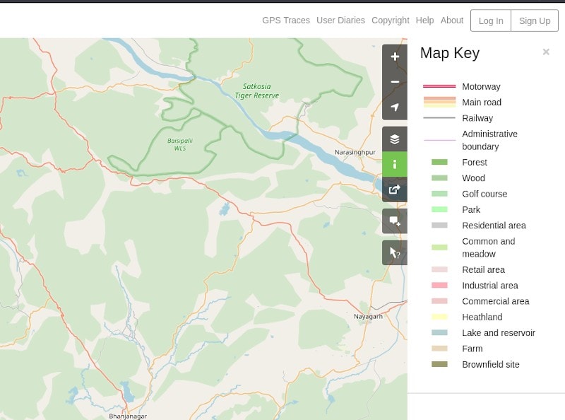
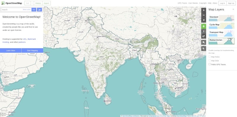
Just like any other map, you will be able to switch between multiple layers in the map, get to know your location, and easily search for places.
You may not find all the latest information for the businesses, shops, and restaurants nearby. But, for basic navigation, it’s more than enough.
OpenStreetMap can be usually accessed through a web browser on both desktop and mobile by visiting the OpenStreetMap site. It does not have an official Android/iOS app yet.
However, there are a variety of applications available that utilize OpenStreetMap at its core. So, if you want to utilize OpenStreetMap on a smartphone, you can take a look at some of the popular open-source Google Maps alternatives:
MAPS.ME and OsmAnd are two open-source applications for Android and iOS that utilize OpenStreetMap data to provide a rich user experience with a bunch of useful information and features added to it.
You can also opt for other proprietary options if you wish, like Magic Earth.
In either case, you can take a look at the extensive list of applications on their official wiki page for Android and iOS.
Using OpenStreetMap On Linux
The easiest way to use OpenStreetMap on Linux is to use it in a web browser. If you use GNOME desktop environment, you can install GNOME Maps which is built on top of OpenStreetMap.
There are also several software (that are mostly obsolete) that utilize OpenStreetMap on Linux for specific purposes. You can check out the list of available packages in their official wiki list.
Wrapping Up
OpenStreetMap may not be the best source for navigation for end users but its open source model allows it to be used freely. This means that many services can be built using OpenStreetMap. For example, ÖPNVKarte uses OpenStreetMap to display worldwide public transport facilities on a uniform map so that you don’t have to browse individual operator’s websites.
What do you think about OpenStreetMap? Can you use it as a Google Maps alternative? Feel free to share your thoughts in the comments below.